Go Far Without a Car: Smarter Birding Plans and Apps

Welcome! Today we’re diving into planning tools and apps for car‑free birders, gathering practical tactics that turn buses, trains, bikes, and boots into wings. Expect transit‑savvy mapping, migration forecasts, offline safety, and data workflows that respect birds and your time. Share questions, favorite tools, and city shortcuts in the replies, and subscribe so we can trade smarter routes, dawn arrivals, and joyful sightings together, without burning a drop of fuel.

Maps and Movement Made Effortless

Turn urban grids, rural lanes, and park footpaths into a flexible network by combining pedestrian routing, bike‑share docks, and real‑time transit intelligence. We will compare offline maps, stop‑level details, and elevation profiles, then align them with dawn arrival windows, restroom access, safety considerations, and energy budgeting, so your journey preserves focus for scanning canopies, reeds, shorelines, and sky.

Reading the Sky: Migration and Timing Intelligence

Treat timing as a superpower. Combine nightly migration forecasts with wind models, tide tables, moon phase, and sunrise to choose mornings when birds concentrate along edges and flyways. Build a lightweight alert stack so you can pivot quickly, squeeze in bonus stops, or postpone when conditions warn of slow, quiet hours.

Nightly Forecasts That Decide Your Alarm

Check BirdCast or regional radar summaries for migration intensity, altitude, and directional flow. Favor tailwinds and post‑front mornings that drop migrants into urban green patches. Last April, a brisk north wind grounded thrushes downtown; catching an earlier bus turned a routine loop into a banner hour.

Bar Charts That Shape Your Checklist

Study eBird bar charts for specific hotspots and months to know when rails whisper or terns peak. Filter by recent sightings to avoid chasing ghosts. Favor habitats with multiple target species, and sketch micro‑routes that sample canopy, understory, edges, and water in a single efficient, quiet circuit.

Weather Windows That Unlock Movement

Use Windy, local radar, and pressure graphs to anticipate song and foraging bursts. Light drizzle can pin warblers low; bright, still mornings elevate canopy action. Align routes with windbreaks, pack breathable layers, and schedule tidal flats near falling tides to expose feeding lanes without trapping yourself behind flooding boardwalk segments.

A Digital Field Kit That Respects Wildlife and Your Battery

Select tools that speed decisions while keeping disturbance to a minimum. Prioritize quick audio notes, structured checklists, and offline references. Batch metadata when you get home, conserve power with airplane mode, and resist playback in sensitive seasons so every identification protects the moment, the birds, and future access.

Sound ID With Restraint and Curiosity

Use Merlin Sound ID to learn patterns, not to broadcast calls. A tiny foam windscreen improves recordings, and holding the phone chest‑high reduces handling noise. Annotate clips with habitat and behavior, and practice listening first, letting the software confirm your growing ear rather than replace attentive fieldcraft.

Frictionless Notes, Clean Data, Happy Future You

Create checklists as you arrive, using auto‑locate to pin the hotspot and short voice memos to capture field marks before they fade. Add quick tags like “call‑note, south marsh, reed edge,” then reconcile counts at lunch. Sync later over Wi‑Fi, preserving battery and context without losing the spark of observation.

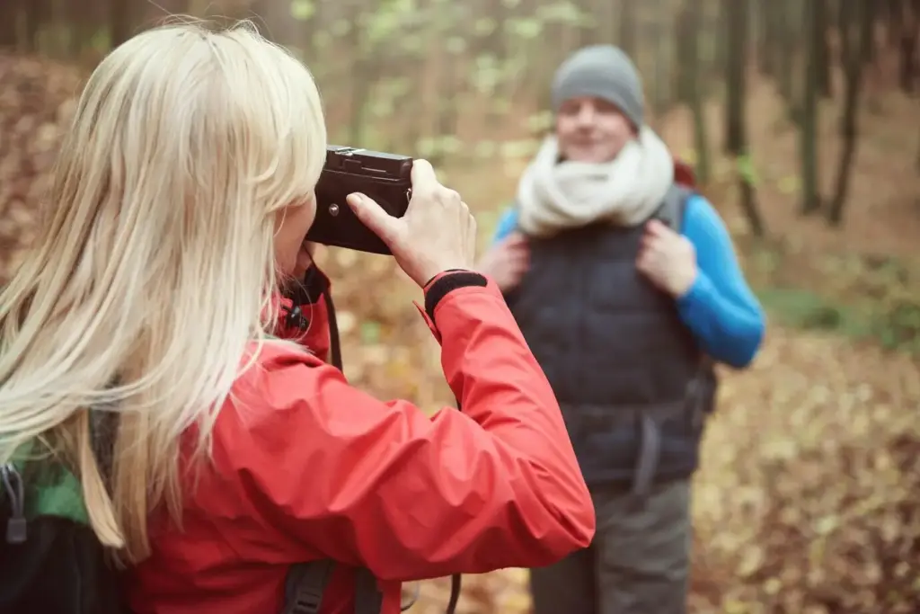
Photos That Tell a Story, Even Off‑Grid

Switch to burst or RAW for distant raptors and shoreline skulkers, ride exposure compensation, and avoid flash near roosts. Note perches, wind, and behavior in captions. Back up to a small flash drive or SD reader, then compress duplicates later so memories outlast temporary cloud gaps and patchy reception.

Power Management That Extends the Dawn

Train your habits: airplane mode between stops, aggressive background restrictions, and short recording bursts. Pair a reliable power bank with a short cable to avoid snags, and protect lithium cells from cold with an inner pocket. A tiny analog watch helps ration time without waking screens unnecessarily.

Step‑Free Access and Inclusive Routing

Preview curb cuts, ramps, gradients, and platform gaps in accessibility layers before committing to transfers. Favor loop trails with benches and shade, note restroom locations, and share step‑free entrance pins for others. Clear access benefits families, elders, and injured birders, expanding community participation while reducing last‑minute, energy‑sapping surprises.

Solo Awareness Without Anxiety

Share live location with a trusted contact, set an expected return, and carry a small whistle. Keep earbuds out so bike bells and runners register. Note safe, open waiting areas on your map, and trust instincts: abandon spots that feel wrong. Observant fieldcraft includes personal safety as quietly as species notes.

Comfort, Safety, and Peace of Mind on Foot or Transit

Preparation multiplies enjoyment. Layer clothing for quiet movement, carry water and salt, and pre‑download park leaflets. Enable safety sharing in your phone, store an offline medical card, and favor visible waiting areas. Clear contingencies calm the mind, keeping attention on soft chips in the brush and distant aerial silhouettes.

Linking Hotspots into Seamless Car‑Free Itineraries

Design efficient circuits anchored by frequent transit hubs, bike‑share docks, and mid‑day cafes for rest and charging. Travel during birding lulls, save dawn and late afternoon for rich habitats, and aim to finish near a station. A little choreography converts scattered green dots into one calm, continuous, sight‑filled day.

Guarding Dawn: Transfers That Don’t Steal Golden Minutes

Audit first buses and trains the evening prior, confirm stops are active, and build generous buffers. Enable service alerts and set an automatic backup alarm. If a disruption hits, pivot to a nearby wetland or cemetery with earlier opening hours, preserving quiet light while avoiding rushed, stressful arrivals.

Loops, Not Lines, for Effortless Returns

Favor circles that chain shoreline, meadow, pond, and woodland edges, ending close to your outbound stop. Downhill final legs save tired knees and attention for last‑minute flyovers. When in doubt, design options A and B, switching based on crowds, wind, or light without throwing away your whole plan.

Plan B, C, and the Quick Pivot

Keep three alternates pinned: rain shelter loops, high‑ground paths for flooding, and urban gardens for wind. Note opening hours and restroom availability. A tiny checklist of thresholds—gusts, lightning, closure notices—makes decisions calm, helping you switch routes while still respecting habitat boundaries and fellow visitors.

Community Power, Shared Knowledge, Gentle Advocacy

Tap local bird clubs, transit riders’ forums, and neighborhood groups to enrich planning and stay safe. Swap GPX files, hotspot pins, and seasonal tips, and celebrate highlights. Contribute to eBird and iNaturalist, and kindly request better stop placements or accessible gates, turning joyful days outside into lasting improvements for everyone.
Kokupufuloriretita
Privacy Overview

This website uses cookies so that we can provide you with the best user experience possible. Cookie information is stored in your browser and performs functions such as recognising you when you return to our website and helping our team to understand which sections of the website you find most interesting and useful.